At Lemu, our mission is to reverse the nature loss crisis with frontier technology, so that nature becomes a measurable, actionable and auditable asset.
To meet this challenge we built Atlas: the platform that turns natural capital into decision-ready intelligence. In 2025 we launched what we called “Atlas 0.1” internally (Beta). We knew that, strong as that first version was, it would evolve quickly and change once more organizations and people used it in the real world.
After scaling from zero to half a million hectares under active monitoring, we confirmed that hypothesis. Today, in our second year of operation, we take the next step with “Atlas 1.0”.
TL;DR: the update in 5 points.
- Evolution: We updated “Atlas 0.1” to “Atlas 1.0” thanks to our users’ feedback. A new responsive interface, new indicators, Public Projects and much more.
- Collective intelligence: 50+ feedback sessions, 80+ prioritized requirements and 40+ surveys with our users.
- Migration: between 14 and 16 April 2026. No downtime: same link, same credentials, same zones, data and findings.
- Open Nature: Arauco will be the first customer to make its projects public in Atlas, debuting SON (State of Nature) indicators.
- Technology: We introduce the Spacetime protocol (4D) and lay the groundwork for Gaia AI: scientific rigor that is easy to use.
Lemu Atlas®, in brief.
It is our core infrastructure for Nature Intelligence. It allows organizations to:
- Actively monitor ecosystems over time, with methods traceable end to end.
- Manage risk and governance through scientific indicators that do not need to be watered down to be usable.
- Show auditable financial and environmental impact, reinforcing that nature strengthens the business.
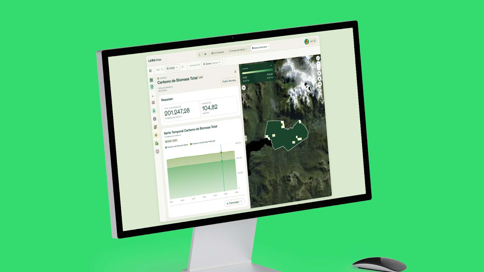
2025: a year of concrete numbers.
2025 was the year Atlas moved from a vision to a working tool. We built up data and turned it into evidence that replaces assumptions in decision-making.
The year in numbers.
- Monitoring scale: We went from zero to 499,642 hectares under active monitoring.
- Community: 187 users in 25 organizations across 7 countries already use our intelligence.
- Actionable intelligence: We generated 92 findings: defensible scientific conclusions for planning and risk management.
- Dimensions of nature: We grew to 19 Key Indicators covering water, biodiversity, carbon, climate, vegetation and risk.
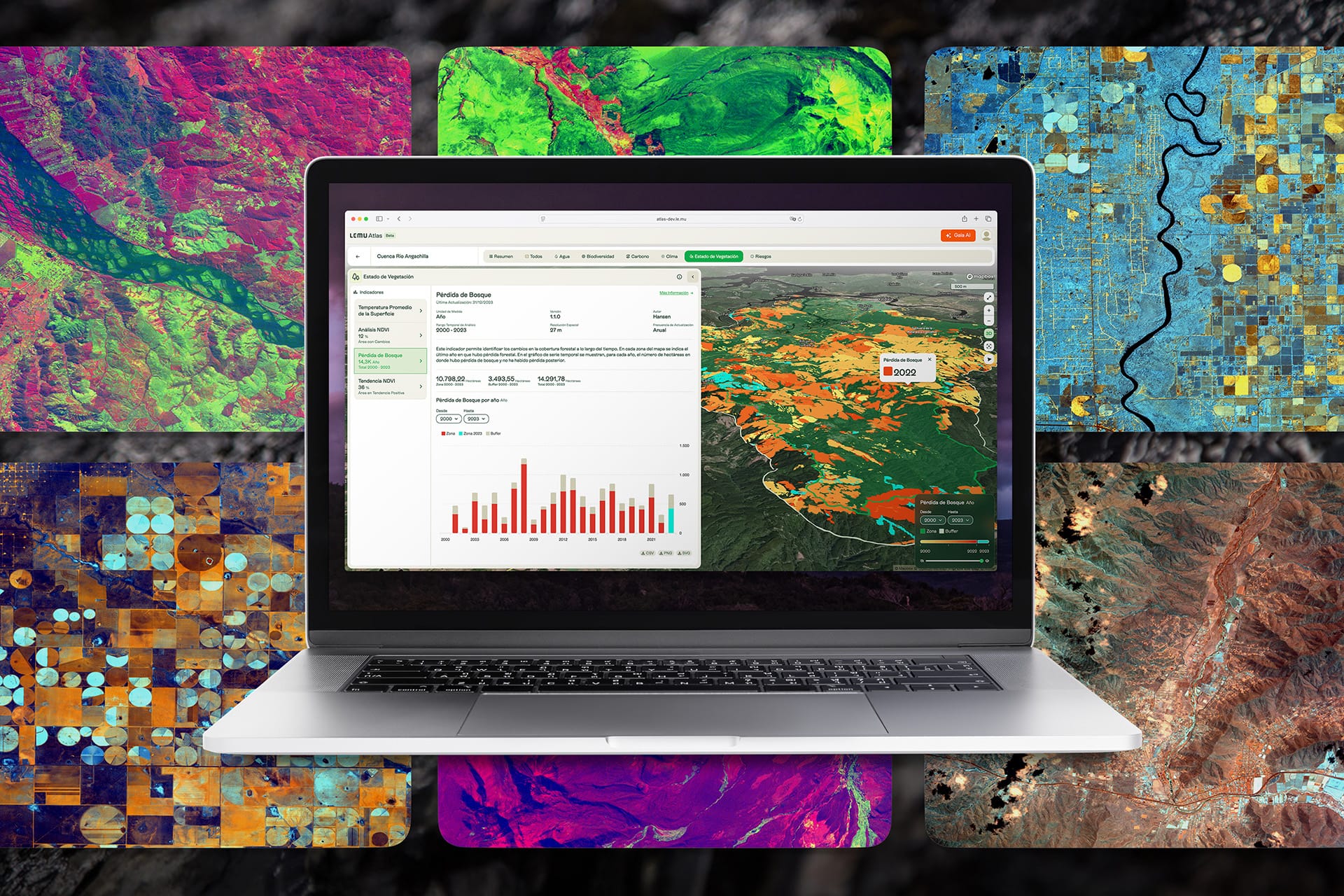
Want to go deeper into our impact? See the full detail of our operation, from the gigapixels processed by Lemu Nge to the biodiversity observed.
A year of listening.
Atlas 1.0 was born from real use. During 2025 we held more than 50 feedback sessions with our users across dozens of organizations, worked through more than 80 prioritized requirements and received more than 40 NPS and PMF surveys. That process let us understand precisely what organizations needed to decide better, and it turned every signal into a concrete improvement: clearer navigation, more accessible indicators, a faster and more stable internal architecture, and the technological foundations for Spacetime and Gaia AI.
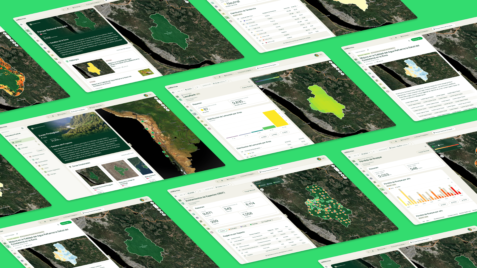
Next stop: migrating to Atlas 1.0.
To scale this impact, we need a more robust structure. That is why we are excited to announce the launch of Atlas 1.0.
This new version brings new indicators, new features and more flexibility, all thanks to the feedback you gave us to improve the platform. You helped us understand what you needed to decide better, and Atlas 1.0 is the answer to that active listening.
What changes, and what stays the same.
We know stability is key. That is why we designed a process where the experience improves without interrupting your workflow:
New capabilities from day one.
Atlas 1.0 looks different, and it is also the foundation for new ways of measuring nature. From day one, every user will see improvements, and some will see additional capabilities depending on their organization:
- For every organization: Atlas 1.0 arrives with a completely renewed experience for all users:
- A redesigned interface with clearer, more intuitive navigation.
- A new Org > Project > Zone hierarchy to manage several territories with more clarity.
- 100% responsive design to work from any device, anywhere.
- Faster loading of maps, indicators and findings, thanks to optimized internal engines.
- Findings in their own section with a new, richer visual format.
- Indicator Cards: technical documents to download as PDF, with the logic, data sources and criteria of each indicator, ready to attach to corporate reports, audits or frameworks such as TNFD or GRI.
- Public Projects: you can now make your organization public in Atlas and share your conservation metrics with the world. If you would like to take this step, contact your account manager (KAM) to turn it on.
- For “Demo Lemu”: SON (State of Nature) indicators will be available, along with camera-trap integration for viewing wildlife.
- For “Arauco”: On top of the above, the Bioacoustics and Environmental DNA (eDNA) modules are enabled, bringing a new level of precision to biodiversity monitoring.
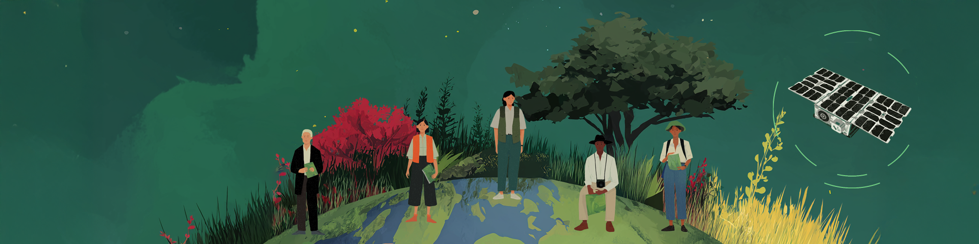
Open Nature, in motion.
Atlas 1.0 opens a new dimension: radical transparency.
The leap into the public sphere.
Our customers will now be able to make their projects public. Arauco has already made that decision and will be the first to dare to share its conservation metrics with the world, setting a new standard of corporate integrity.
This makes Atlas a hub for leaders of the nature-positive economy, where impact is measured internally and also shared to inspire action. The question now is: who else will join in leading with evidence?
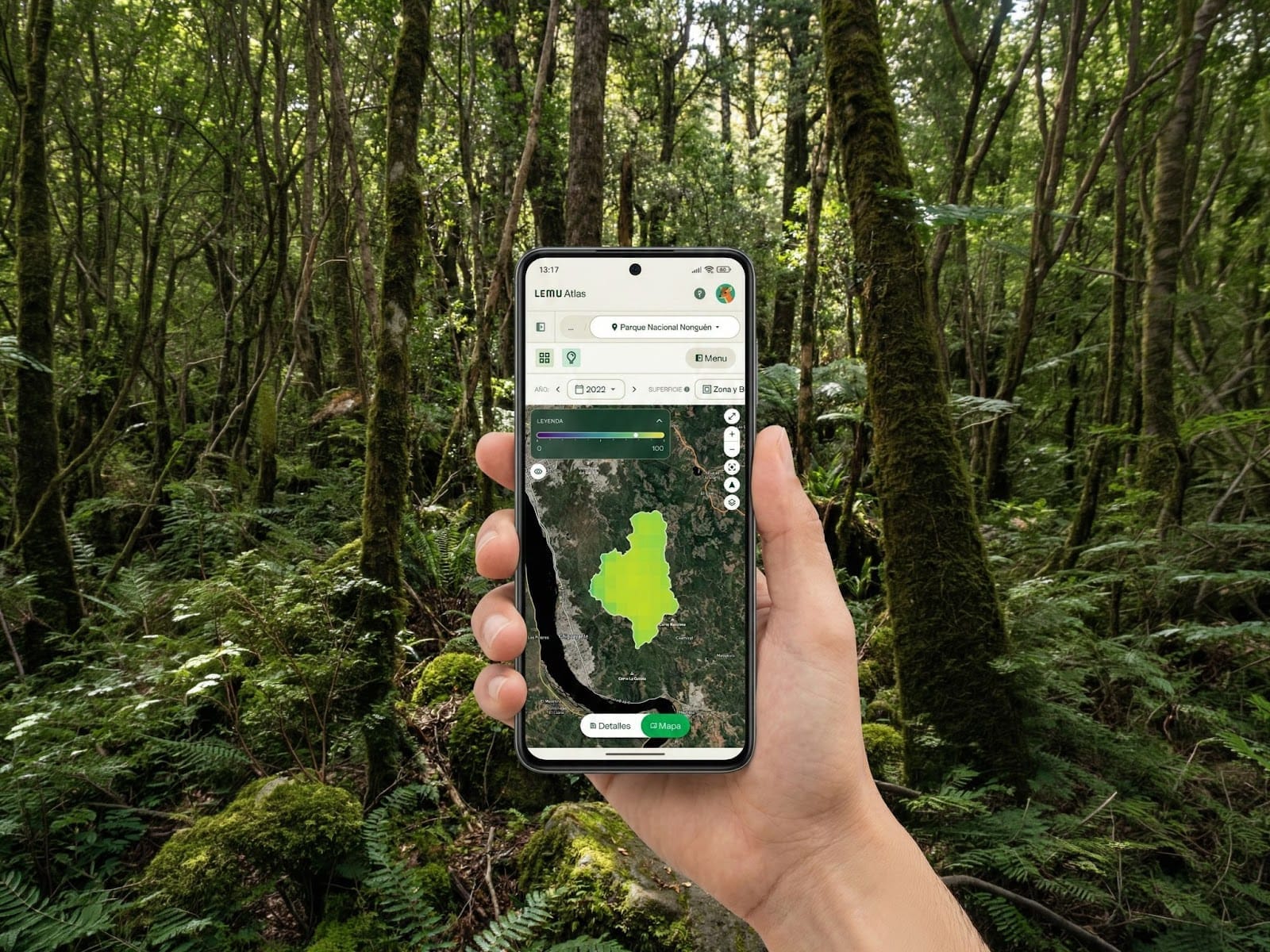
Atlas in your pocket: a 100% responsive experience.
We know that decisions about nature are not always made behind a desk. That is why the new Atlas is fully responsive.
- For private users: Check indicators on site, or show findings during a meeting, straight from your smartphone.
- For the general public: Anyone will be able to explore public projects (such as Arauco’s) with a smooth, fast mobile experience.
Roadmap: looking ahead.
This redesign goes deeper than the surface: it is a change of architecture. We have built new internal logic that will serve as the foundation for what comes next.
Spacetime: the foundational layer.
Under the surface, Atlas 1.0 runs on Spacetime, our new 4D data protocol {x, y, z, t}. Nature never stands still, and Spacetime lets us organize observations, models and indicators so they stay coherent and comparable across time and space, upholding both scientific integrity and operational speed.
 Lemu
Thanks to this foundation, we expect to roll out new features towards the last quarter of 2026 or early 2027:
- Gaia AI: Our artificial intelligence for natural-language questions (don’t laugh) about your nature data. Scientific rigor that is easy to use.
- Zone Comparison and Project Analysis: Advanced tools to analyze performance across several territories at once, and over time.
FAQ: everything you need to know.
Will my access link change?
No. You will keep signing in through the same route as always.
Do I need to change my password?
No. Your current credentials and user permissions stay intact.
Will I lose my data or earlier reports?
Not at all. The migration changes architecture and visualization; all your historical information is safe and migrated to the new logic.
Will the platform stop working between 14 and 16 April?
We do not expect any downtime. The migration will be seamless and you can keep working as usual.
Where can I ask for help or send feedback?
Our support team is ready to help you at support@le.mu.
We will also be listening closely to your comments once you get your hands on the new Atlas 1.0. Your experience is what helps us improve every day.