Lemu Nge: Life, from space
What is Lemu Nge?
What is Lemu Nge?
6U / 32 BAND / <5M GSD / HYPER / NORAD ID: 60532
Lemu Nge (“Forest Eye” in Mapudungun), is the world’s first biodiversity-focused satellite — built to close the data gap where life is most diverse, and least visible. In orbit and operational since August 2024.
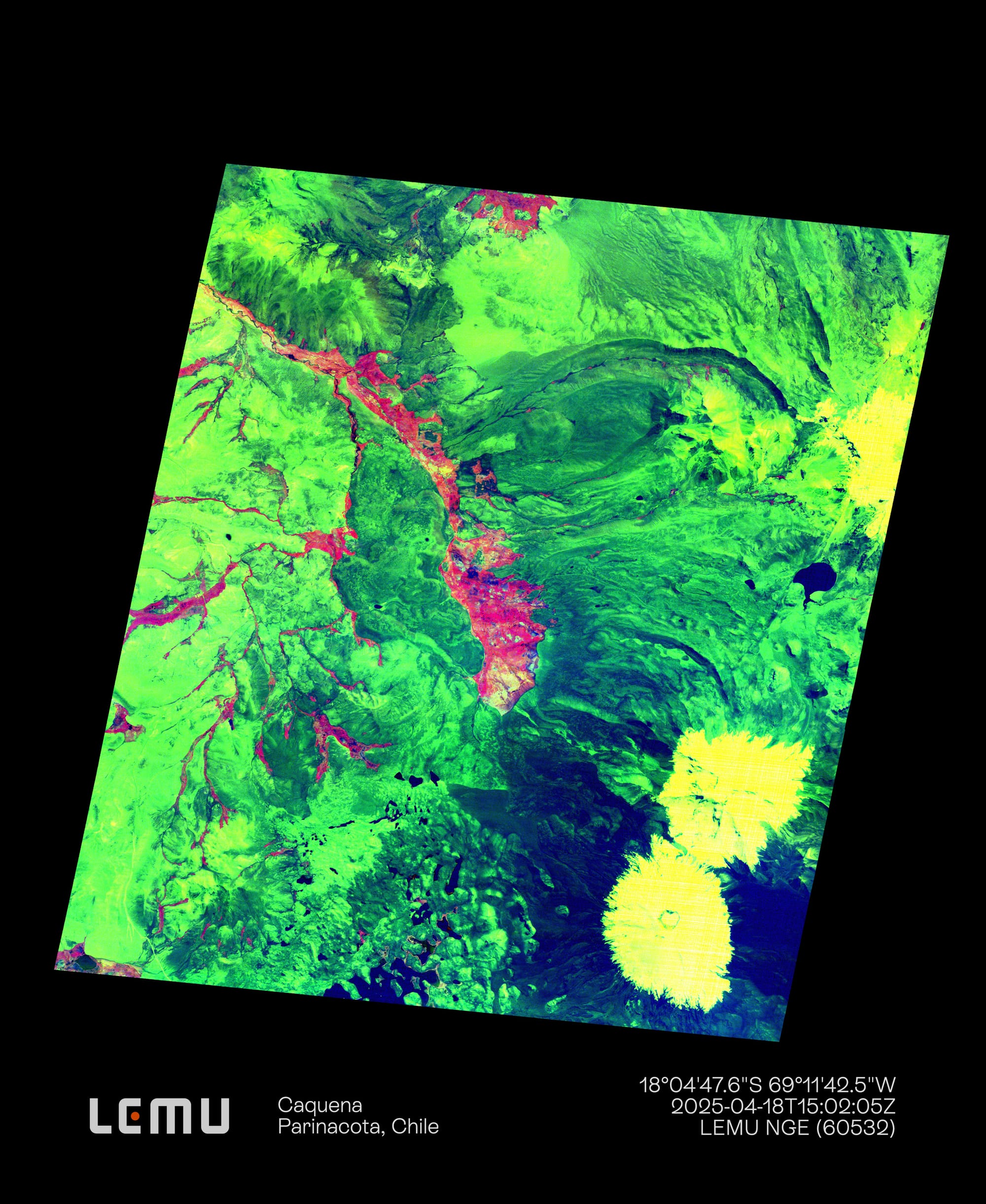
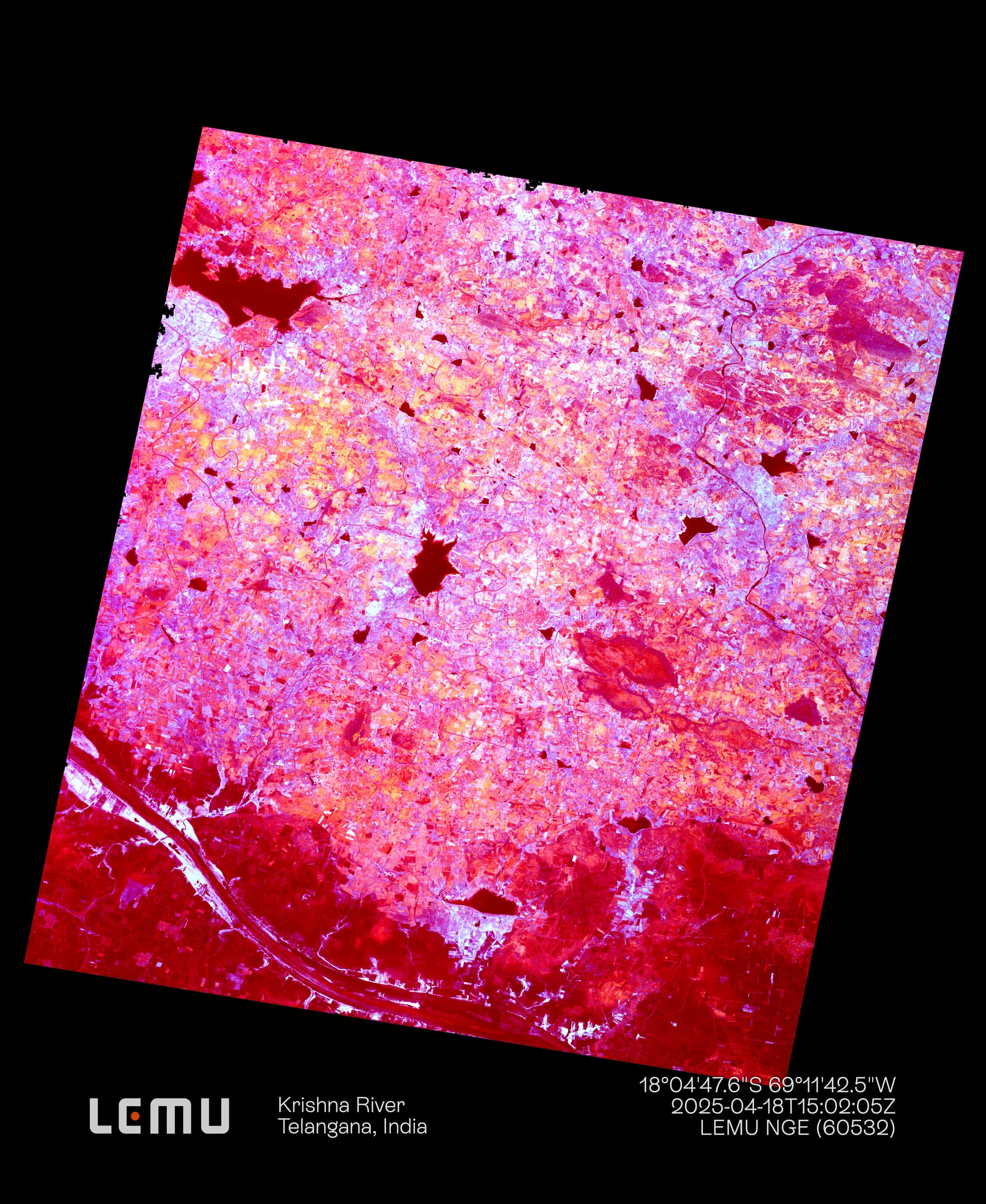
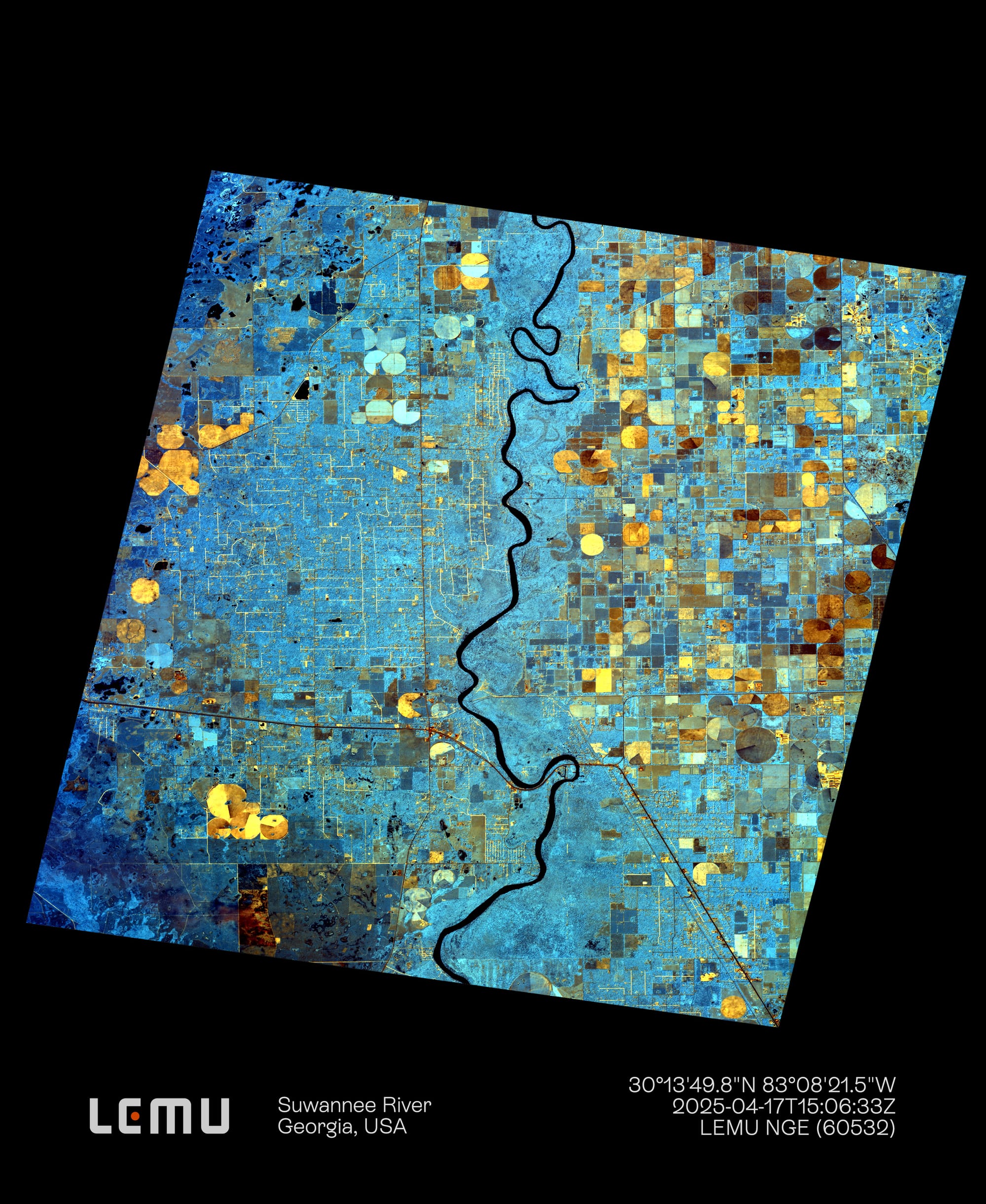
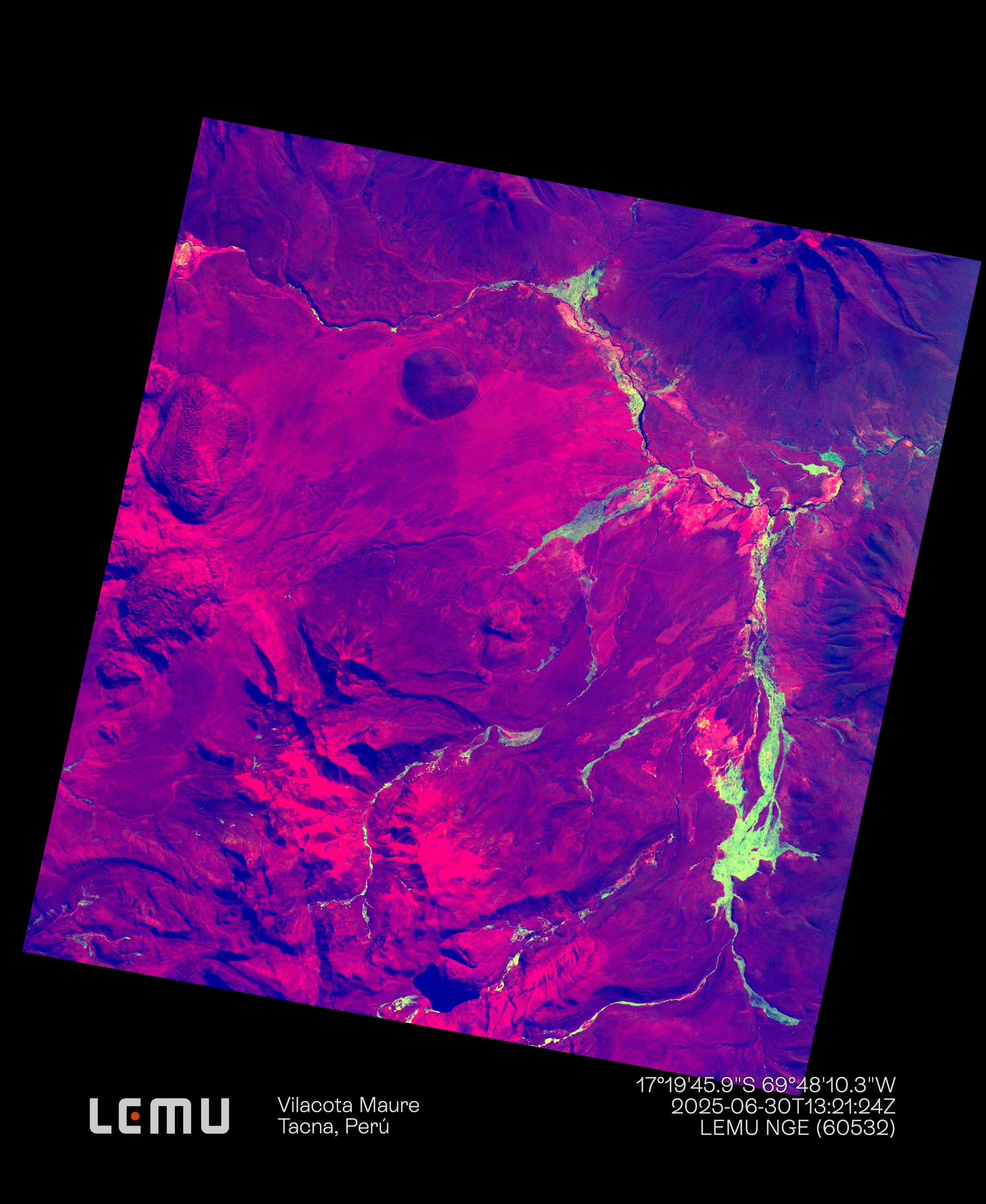
It carries a 32-band hyperspectral sensor that captures detailed spectral signatures from orbit, enabling deeper analysis of plant species, ecosystem change, and habitat health. From native forests to wetlands and coastal zones, Lemu Nge helps bring overlooked ecosystems into focus.
Q: Why did we decide to launch a satellite for biodiversity?
Q: Why did we decide to launch a satellite for biodiversity?
A: Because nobody else did. ¯\_(ツ)_/¯
Biodiversity is still invisible.
Most satellites weren’t designed to detect life. Lemu Nge was built to observe ecosystems — not just land cover.
The data gap is massive.
The places richest in life are often poorest in data. Lemu Nge helps fill these blind spots — before setting foot on the ground.
Better signals for local action.
Our sensor captures the detail needed to support real decisions on the ground — not just stunning imagery.
Better inputs for Nature Intelligence.
Spectral and spatial precision to unlock insight across space and time.
6U
Satellite size.
Lemu Nge is a 6U nanosatellite. The satellite "bus," which carries all of its components, measures 30x20x10 cm, similar to the size of a shoebox.
600 km
Average altitude.
Our satellite orbits the Earth and captures images nearly 600 km above the Earth's surface in Low Earth Orbit (LEO).
14
Daily orbits.
Our "Forest Eye" takes an average of 96.5 minutes to complete one orbit around the Earth, moving at approximately 27,337 km/h.
Seeing the invisible: The hyperspectral camera.
Seeing the invisible: The hyperspectral camera.
Lemu Nge's high-resolution hyperspectral camera can segment land cover and vegetation biodiversity with more than 20 times the accuracy of previous satellite images. The data for the images it captures is downliked by high-bandwidth antennas in Svalbard and Punta Arenas.
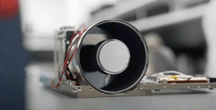
32
Hyperspectral imager bands. Captures images at 32 different wavelengths within the electromagnetic spectrum, exceeding the human eye's capability.
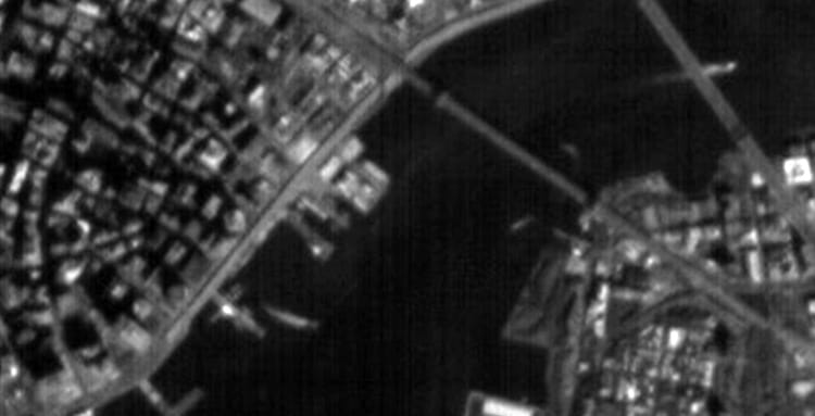
<5
Meters of camera resolution. Each pixel captured by the hyperspectral camera represents an area on the ground of approximately 4.75 meters per side.
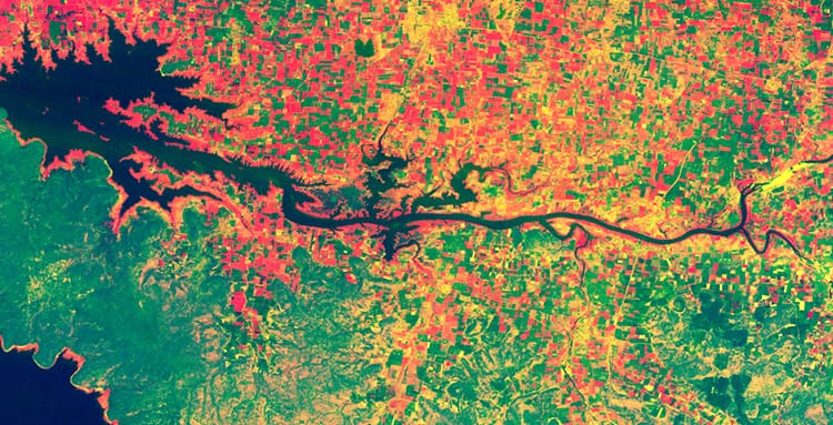
450-900
Approximate nanometers. The range goes from 450 nm in the visible spectrum, near blue and violet, to 900 nm in the near-infrared (NIR), invisible to the human eye.
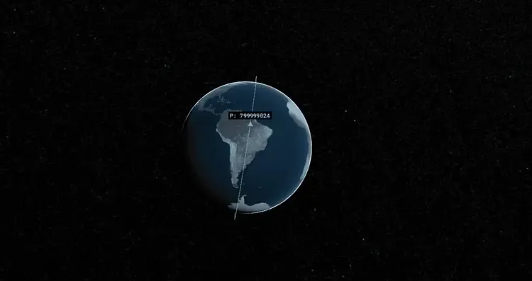
3-7
Days of temporal resolution. Our nanosatellite takes between 3 and 7 days to pass over the same place on our planet and revisit a specific area.
From first light to fulfilled vision.
From first light to fulfilled vision.
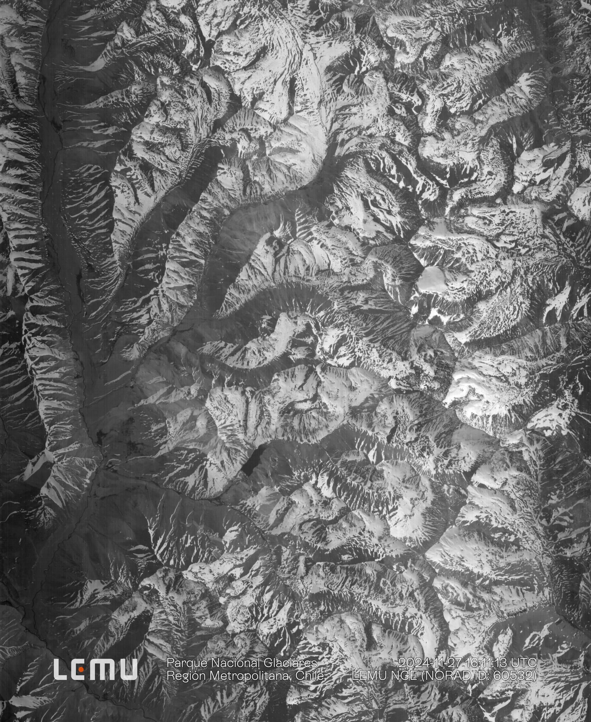
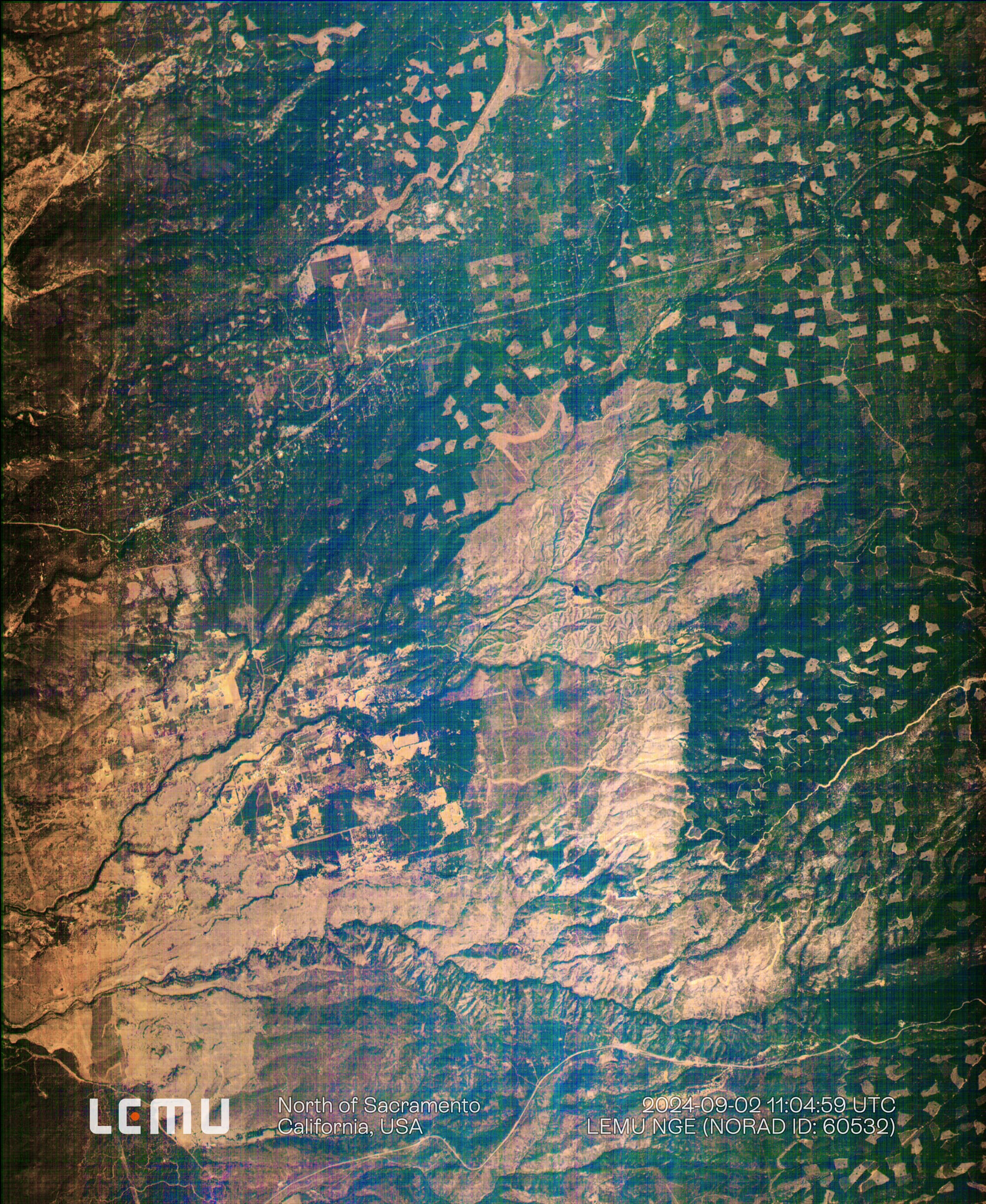
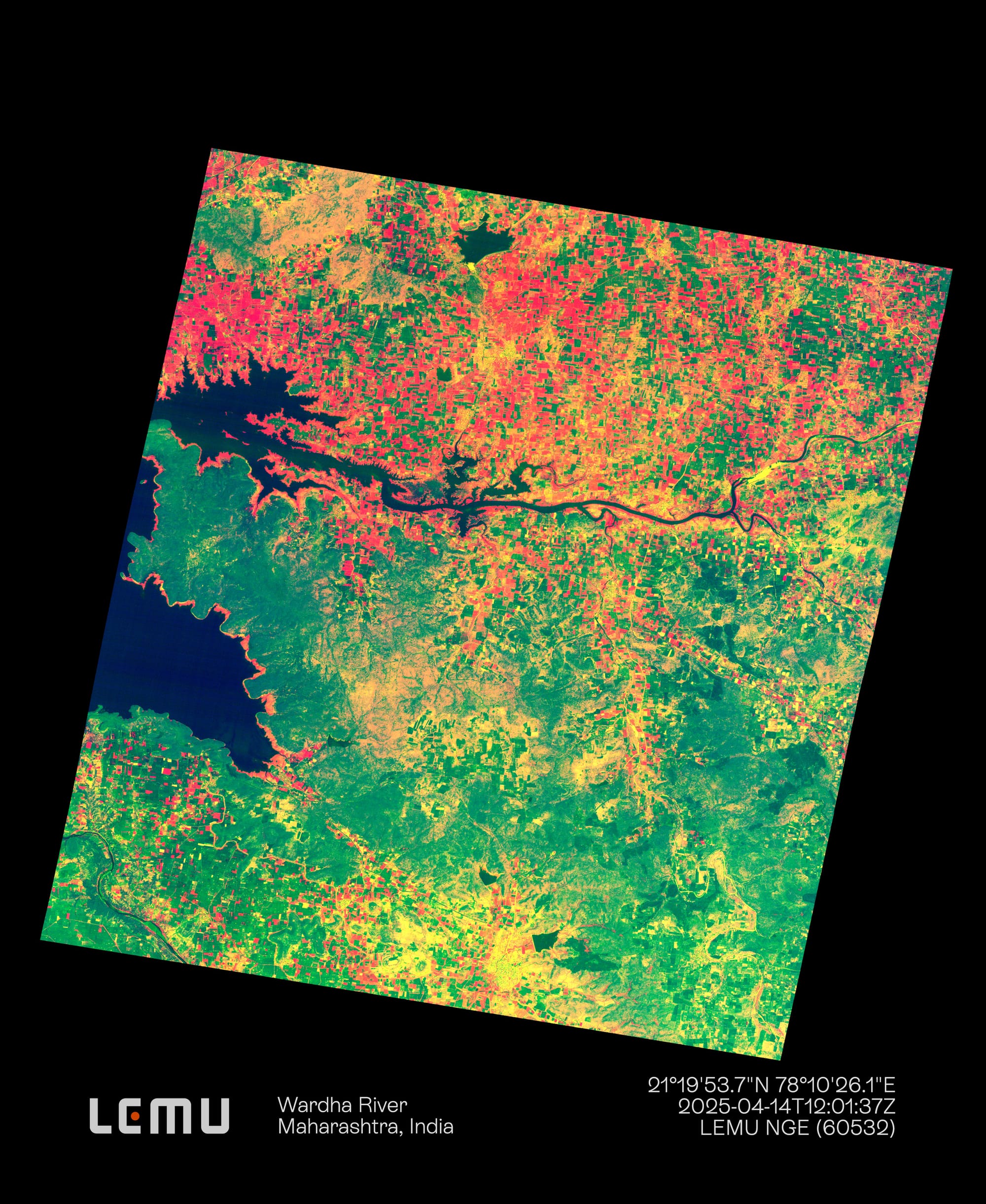
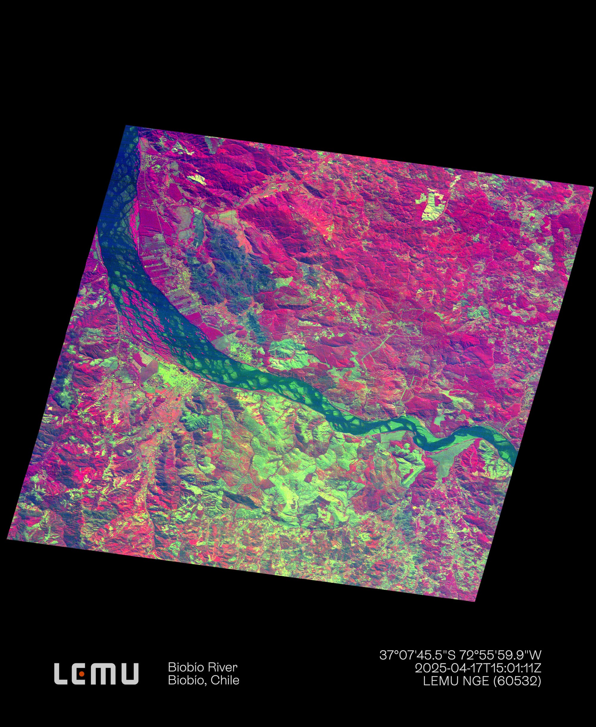
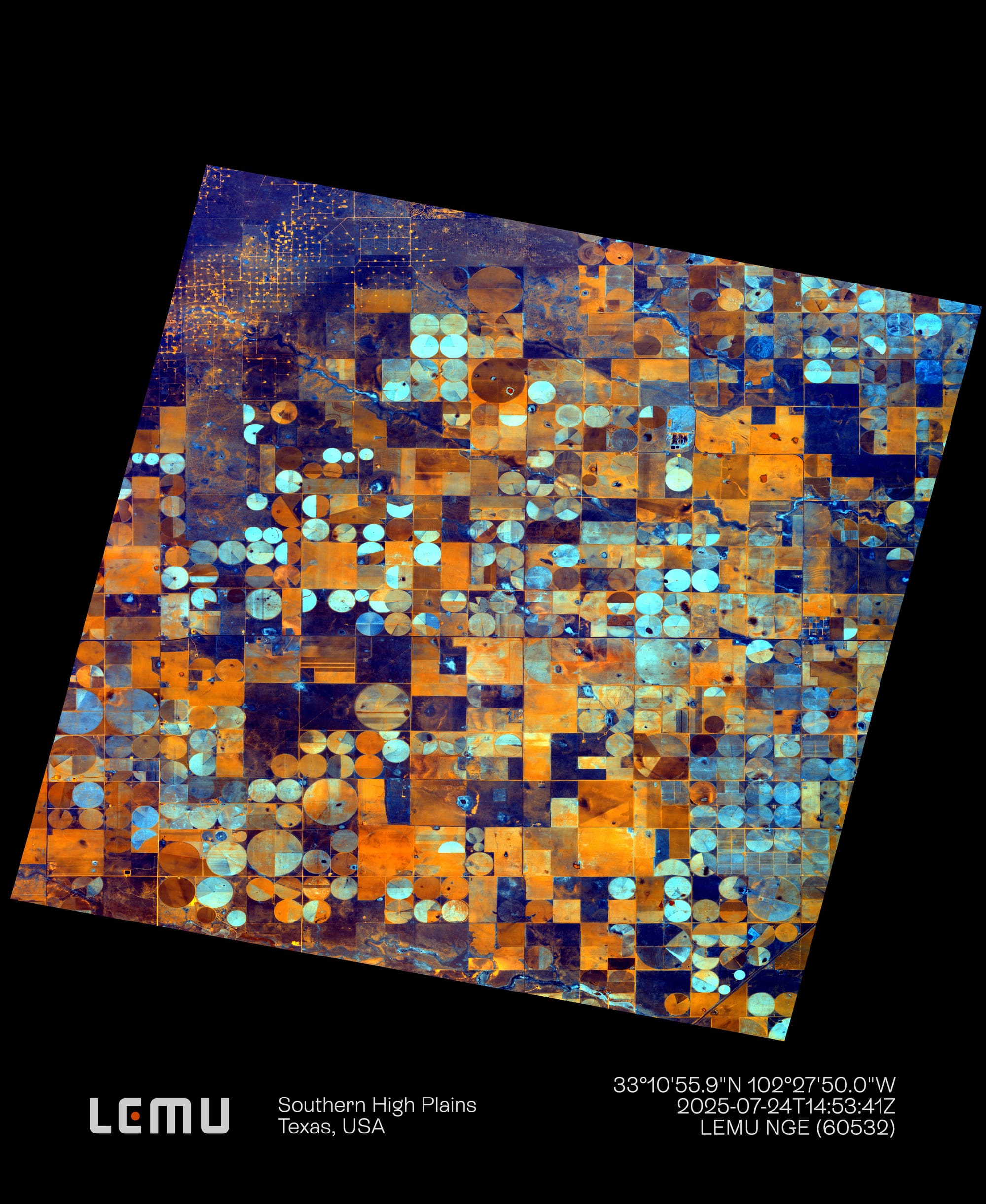
Lemu Nge’s 32-band hyperspectral images are nothing short of astonishing — it still feels unreal that they our little spacecraft delivered on its promise, and that we can now hold this vision of Earth in our hands.
Let’s talk about Lemu Nge
Let’s talk about Lemu Nge
If you are an research organization interested in Lemu Nge hyperspectral imagery or how it informs the indicators of our nature data platform, Lemu Atlas, get in touch.

